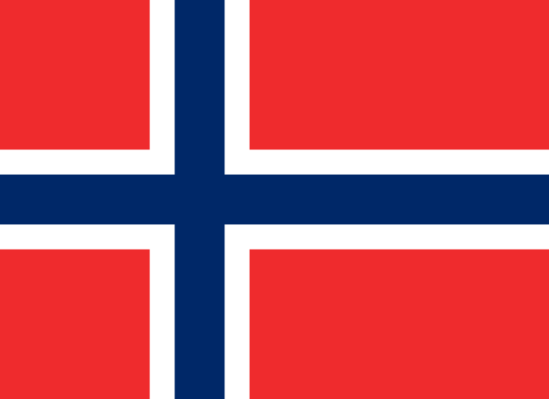
- Capital :
Oslo
- Population :
5,033,675
- GDP :
$483.650 billion
- Per Capita :
$97,254
- Calling Code :
+47
- Jobless Rate :
3.50%
- Time Zone :
+1
For more about Norway »
With interactive Norway Map, view regional highways maps, road situations, transportation, lodging guide, geographical map, physical maps and more information. On Norway Map, you can view all states, regions, cities, towns, districts, avenues, streets and popular centers' satellite, sketch and terrain maps.
A Collection of Norway Maps
Map of Norway with Sweden and Denmark (1886 - 1891)

The map of Sweden, Norway and Denmark with explanation of signs on it. Old vintage map from the late 19th century, Trousset encyclopedia (1886 - 1891).
Norway Political Map

Norway Political Map with capital Oslo, national borders, important cities, rivers and lakes. English labeling and scaling.
Norway Map with Earth, Europe, Scandinavia

Highly detailed planet Earth in the morning. Exaggerated precise relief lit morning sun. Detailed Norway Map with Earth, Europe, Scandinavia. Elements of this image furnished by NASA.
Norway Shaded Relief Map

Norway Shaded relief map. Surrounding territory greyed out. Colored according to vegetation. Includes clip path for the state area.
Norway Satellite Map

Norway Satellite Map, Night planet Earth with precise detailed relief and city lights illuminated by moonlight Europe, Scandinavia.
Political Map of Norway

Highly detailed editable political map of Norway with separated layers.
Vector Map of Norway, Europe

Vector Map of Norway, Europe map colored by countries with regions borders. Navigation, location and travel icons collection.
Map of Norway

Map of Norway and the sea depths in layers, Sweden, Norway, Estonia.
Norway Europa Detailed Map

Norway Europa highly detailed map. All elements are separated in editable layers clearly labeled.
Norway Map with Main Cities

Norway Map with Main Cities, Sweden, Finland and Estonia national borders.
Norway Administrative Map

Map of administrative divisions of Norway with the capital cities.
Norway Regions Map

Map of administrative and regional divisions of Norway.
Administrative Map of Norway

Norway administrative map with major cities.
Largest Cities Map of Norway
Oslo Map -
584,292
Bergen Map -
252,051
Trondheim Map -
168,257
Stavanger Map -
121,610
Baerum Map -
113,659
Kristiansand Map -
80,000
Fredrikstad Map -
71,976
Tromso Map -
64,782
Sandnes Map -
63,032
Skien Map -
62,537
Drammen Map -
60,145
Sarpsborg Map -
50,115
Bodo Map -
46,049
Sandefjord Map -
42,333
Alesund Map -
41,385
Larvik Map -
41,221
Arendal Map -
39,826
Tonsberg Map -
38,914
Porsgrunn Map -
33,550
Haugesund Map -
31,738
Hamar Map -
31,593
Moss Map -
28,800
Halden Map -
28,063
Gjovik Map -
27,500
Lillehammer Map -
25,070
Horten Map -
24,671
Molde Map -
24,421
Kongsberg Map -
23,997
Harstad Map -
23,242
Kristiansund Map -
22,661
Steinkjer Map -
20,672
Grimstad Map -
19,809
Narvik Map -
18,512
Kongsvinger Map -
17,380
Honefoss Map -
13,930
Mandal Map -
13,840
Egersund Map -
13,418
Namsos Map -
12,426
Notodden Map -
12,359
Holmestrand Map -
9,515
Farsund Map -
9,392
Hammerfest Map -
9,261
Flekkefjord Map -
8,918
Floro Map -
8,296
Risor Map -
6,938
Vadso Map -
6,187
Vardo Map -
2,396
Norway Google Map, Street Views, Maps Directions, Satellite Images
Please Not : You can find local businesses, public places, tourist attractions via map view, satellite image, hybrid view, driving directions in Norway Map. You'll also find a varity map of Norway such as political, administrative, transportation, demographics maps following Google map.


