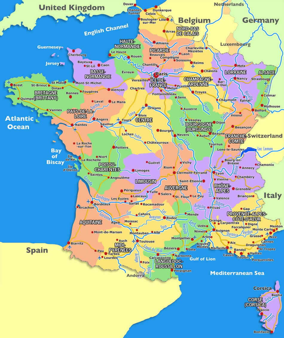
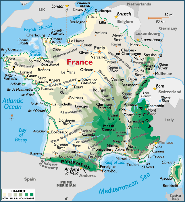
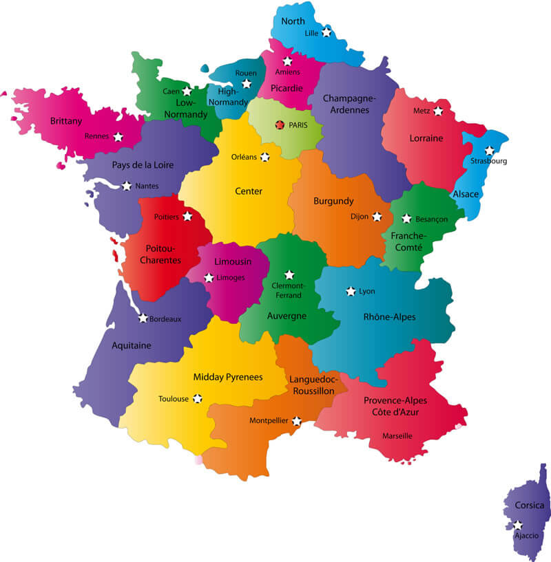
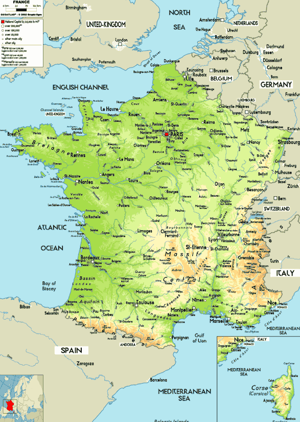
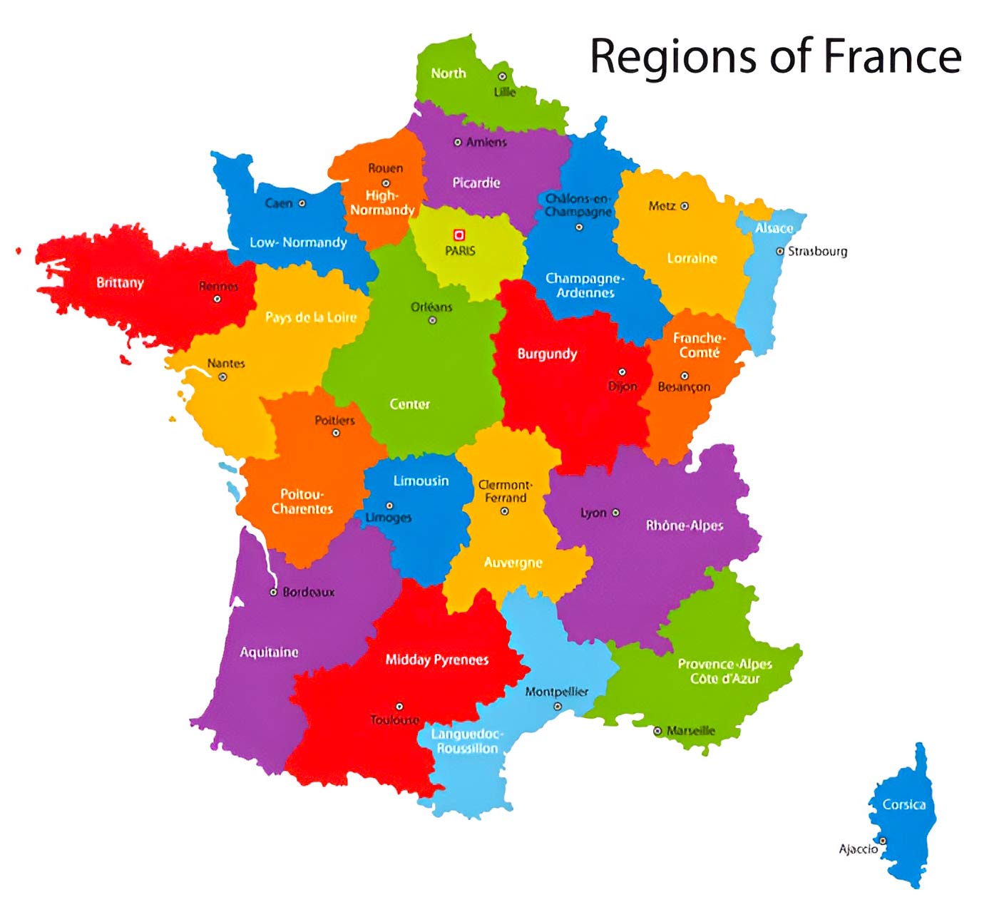
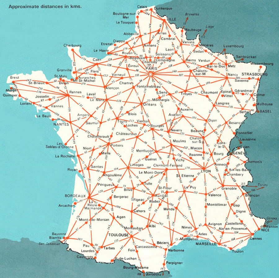
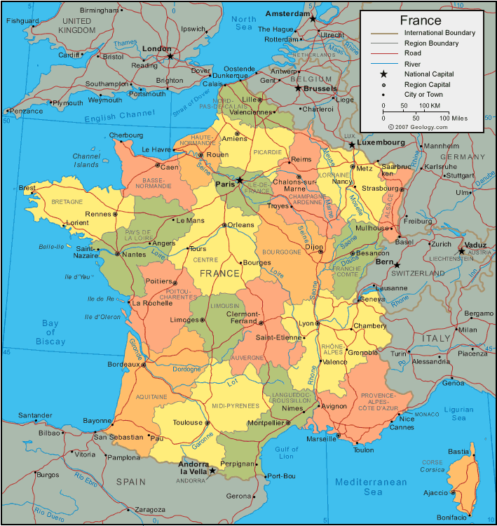
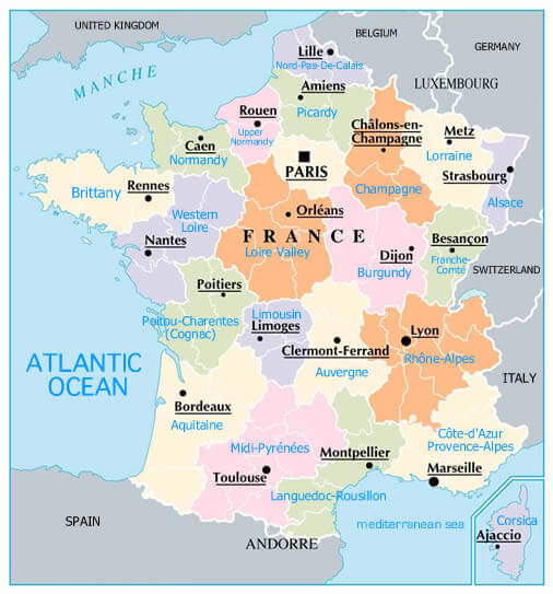
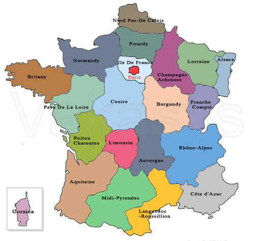
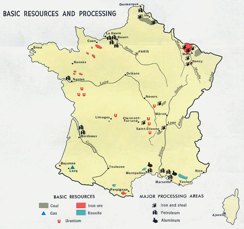
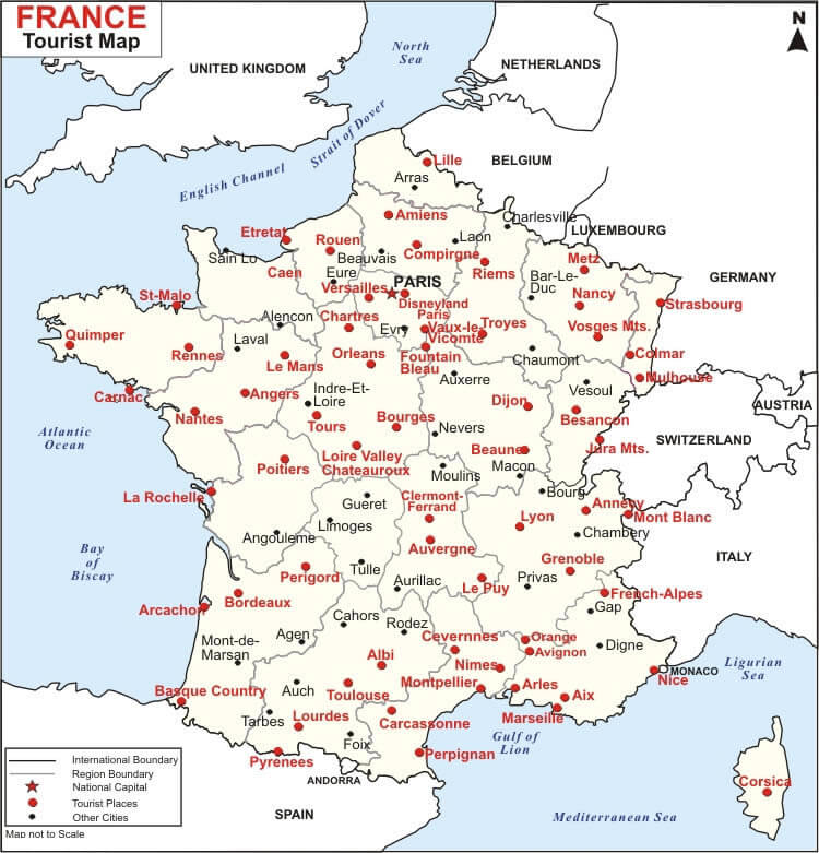
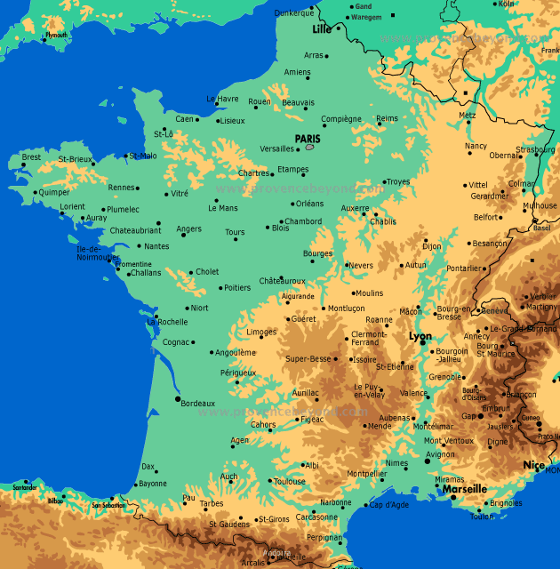
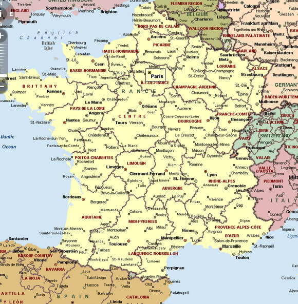
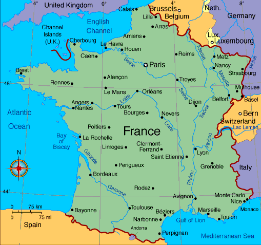
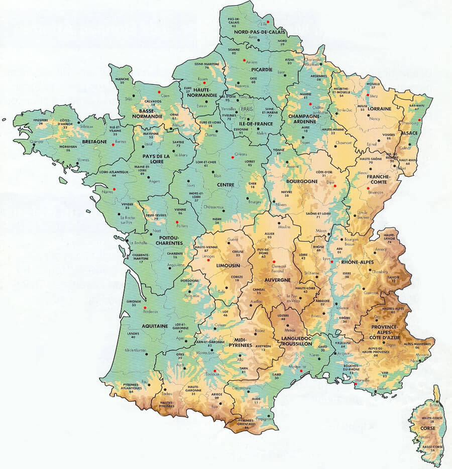
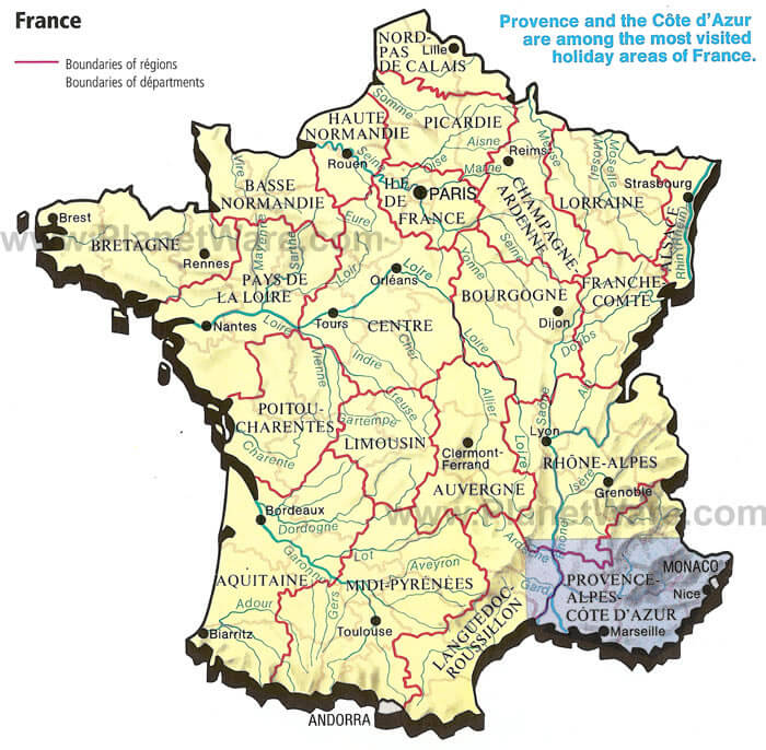
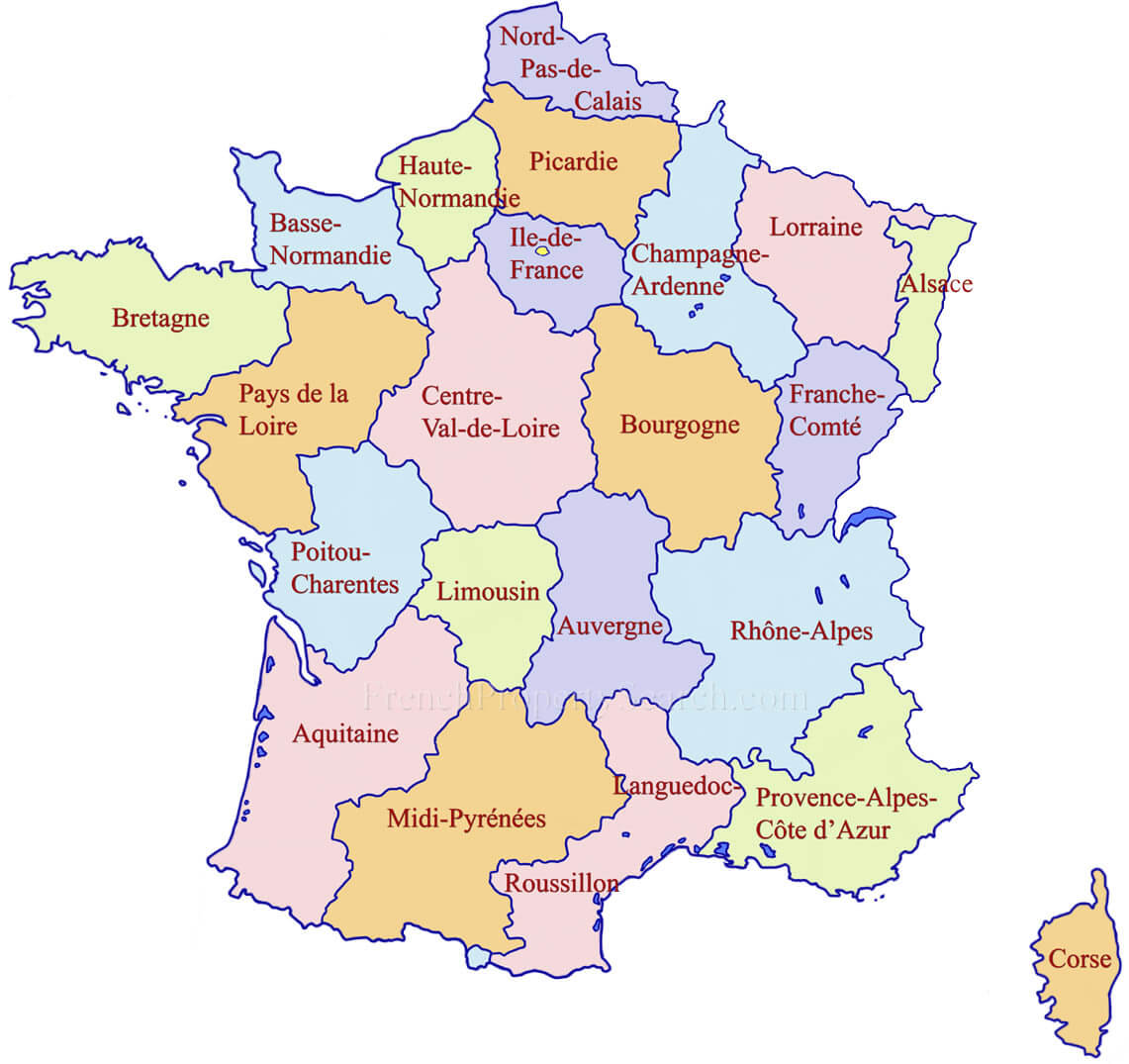
This France map shows the administrative regions of France, each of which is identified by a different color. The regions are numbered and labeled, and the major cities are also shown. France is located in Western Europe and has a diverse landscape that includes mountains, coastlines, and rural areas. Some of the major cities in France include Paris, Marseille, Lyon, Toulouse, and Nice.
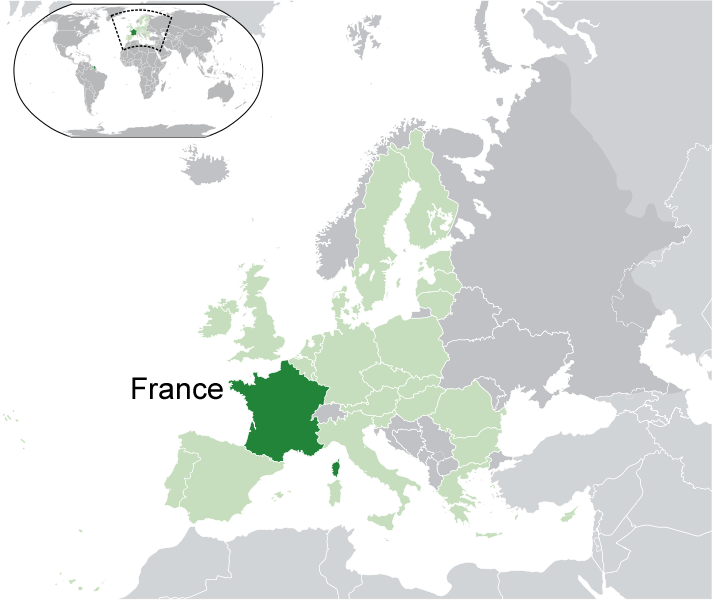
Where is France on the Map
France is located in Western Europe. It shares borders with several other European countries, including Belgium, Luxembourg, Germany, Switzerland, Italy, and Spain. The country is also bordered by the Atlantic Ocean to the west and the Mediterranean Sea to the south. The country has a population of over 67 million people and is known for its rich history, culture, and cuisine.In terms of demographics, France is a multicultural country that is home to many different ethnic and religious groups. The official language is French, but there are also regional languages spoken throughout the country, including Occitan, Breton, and Alsatian.
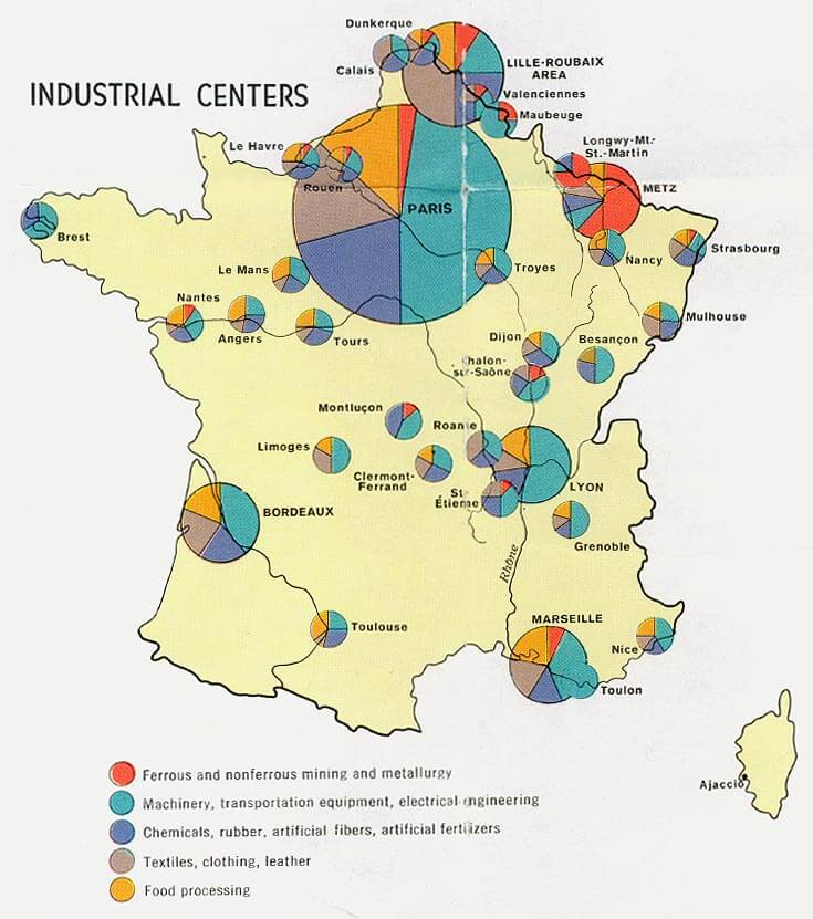
France has a mixed economy that is based on both private enterprise and government intervention. The country is a member of the European Union and has a highly developed industrial sector, as well as a strong agricultural sector. France is also a major exporter of luxury goods, including wine, cheese, and fashion.
France Regions Map
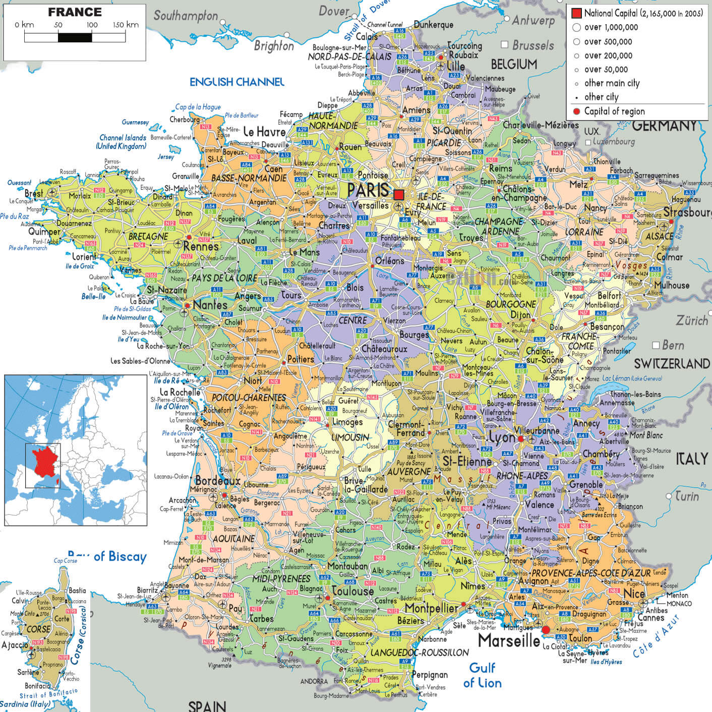
France Provinces Map
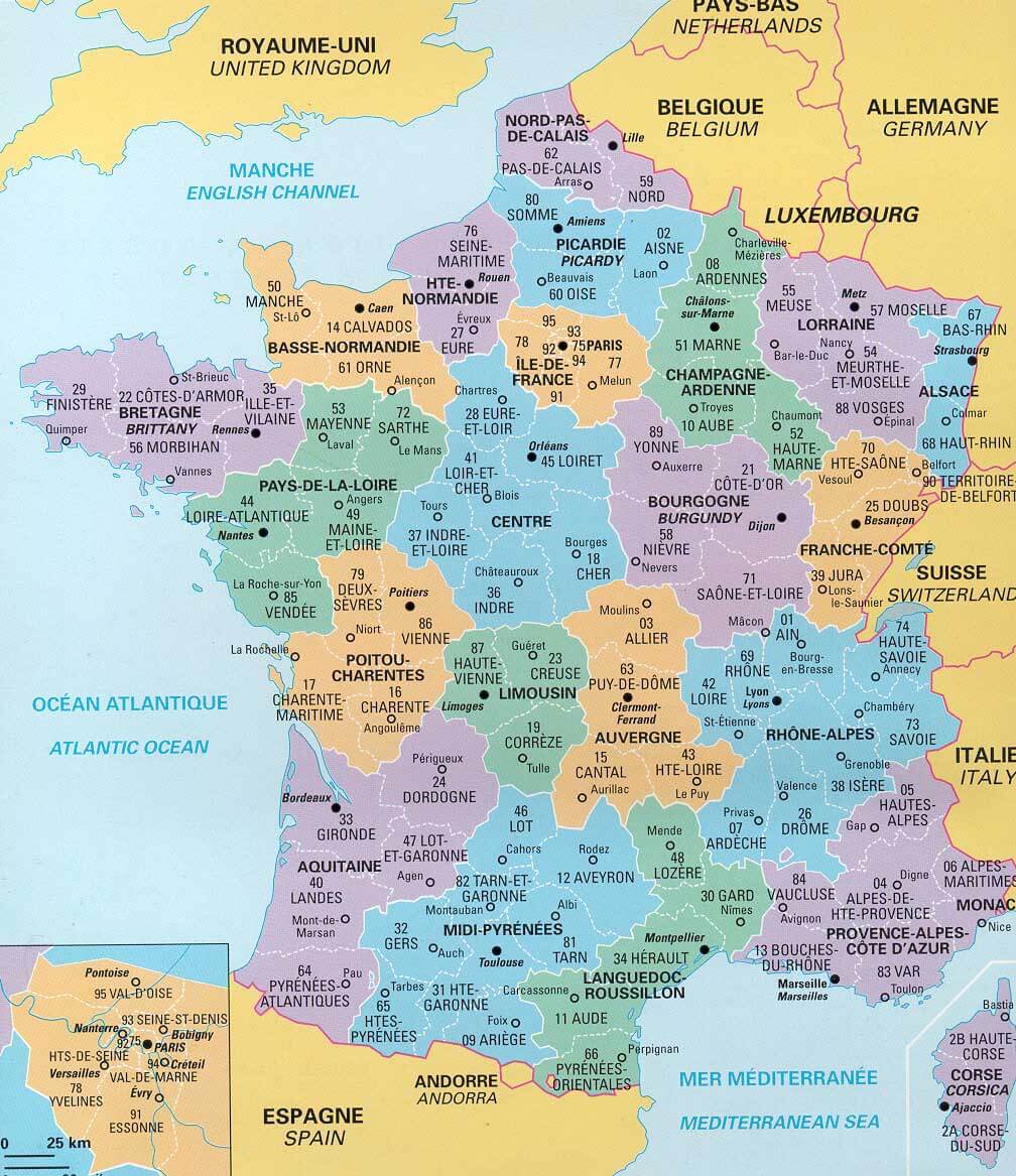
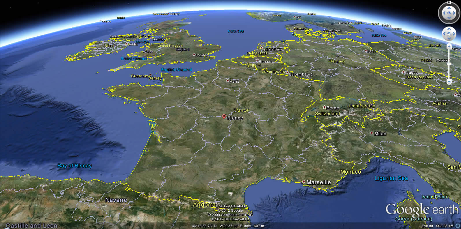
Satellite Map of France

France Street Views, Maps Directions & Satellite Images
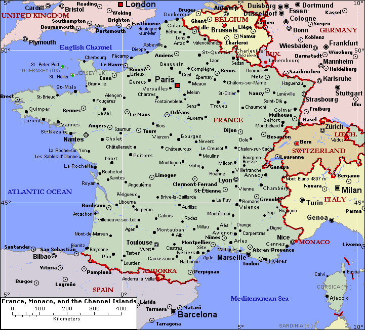
A collection of Maps of France
Largest Cities Map of France
Calais Map - Antibes Map - Pau Map - Albi Map - Montauban Map - Chambery Map - Annecy Map - Annemasse Map - Cannes Map - Arles Map - Ales Map - Nimes Map - Troyes Map - Thionville Map - Versailles Map - Cergy Map - Orleans Map - Laval Map - Saint Malo Map - Tours Map - Colombes Map - Quimper Map - Asnieres sur Seine Map - Saint Nazaire Map - Blois Map - Poitiers Map - Limoges Map - Niort Map - Bressuire Map - Bourges Map - Charleville Mezieres Map - Frejus Map - Avignon Map - Aix en Provence Map - Paris Map - Marseille Map - Lyon Map - Toulouse Map - Nice Map - Nantes Map - Strasbourg Map - Montpellier Map - Bordeaux Map - Rennes Map - Le Havre Map - Reims Map - Lille Map - Saint Etienne Map - Toulon Map - Grenoble Map - Angers Map - Brest Map - Le Mans Map - Dijon Map - Caen Map - Rouen Map - Cholet Map - La Rochelle Map - Castres Map - Beziers Map - Perpignan Map - Amiens Map - Saint Quentin Map - Metz Map - Nancy Map - Colmar Map - Mulhouse Map - Besancon Map - Clermont Ferrand Map - Valence Map - Vienne Map -France Google Map, Street Views, Maps Directions, Satellite Images
Please Not : You can find local businesses, public places, tourist attractions via map view, satellite image, hybrid view, driving directions in France Map. You'll also find a varity map of France such as political, administrative, transportation, demographics maps following Google map.
Submit URL to France :

