Kentucky Map

Kentucky Map Help
To zoom in and zoom out map, please drag map with mouse. To navigate map click on left, right or middle of mouse. To view detailed map move small map area on bottom of map.
USA Kentucky Map Loading...

Largest Cities Map of Kentucky and Population
- Louisville Map - 597.337 - (38.254,-85.759)
- Lexington Fayette Map - 295.803 - (37.989,-84.478)
- Bowling Green Map - 58.067 - (36.99,-86.444)
- Owensboro Map - 57.265 - (37.774,-87.113)
- Covington Map - 40.640 - (39.084,-84.509)
- Hopkinsville Map - 31.577 - (36.866,-87.489)
- Richmond Map - 31.364 - (37.748,-84.295)
- Florence Map - 29.951 - (38.999,-84.627)
- Georgetown Map - 29.098 - (38.21,-84.559)
- Henderson Map - 28.757 - (37.83615380000,-87.59001340000)
- Elizabethtown Map - 28.531 - (37.703065, -85.864941)
- Nicholasville Map - 28.015 - (37.880634, -84.572996)
- Jeffersontown Map - 26.595 - (38.194236, -85.564403)
- Frankfort Map - 25.527 - (38.200905, -84.873283)
- Paducah Map - 25.024 - (37.083389, -88.600048)
- Independence Map - 24.757 - (38.943118, -84.544109)
- Radcliff Map - 21.688 - (37.840346, -85.949130)
- Ashland Map - 21.684 - (38.478414, -82.637939)
- Madisonville Map - 19.591 - (37.328100, -87.498888)
- Winchester Map - 18.368 - (37.990079, -84.179650)
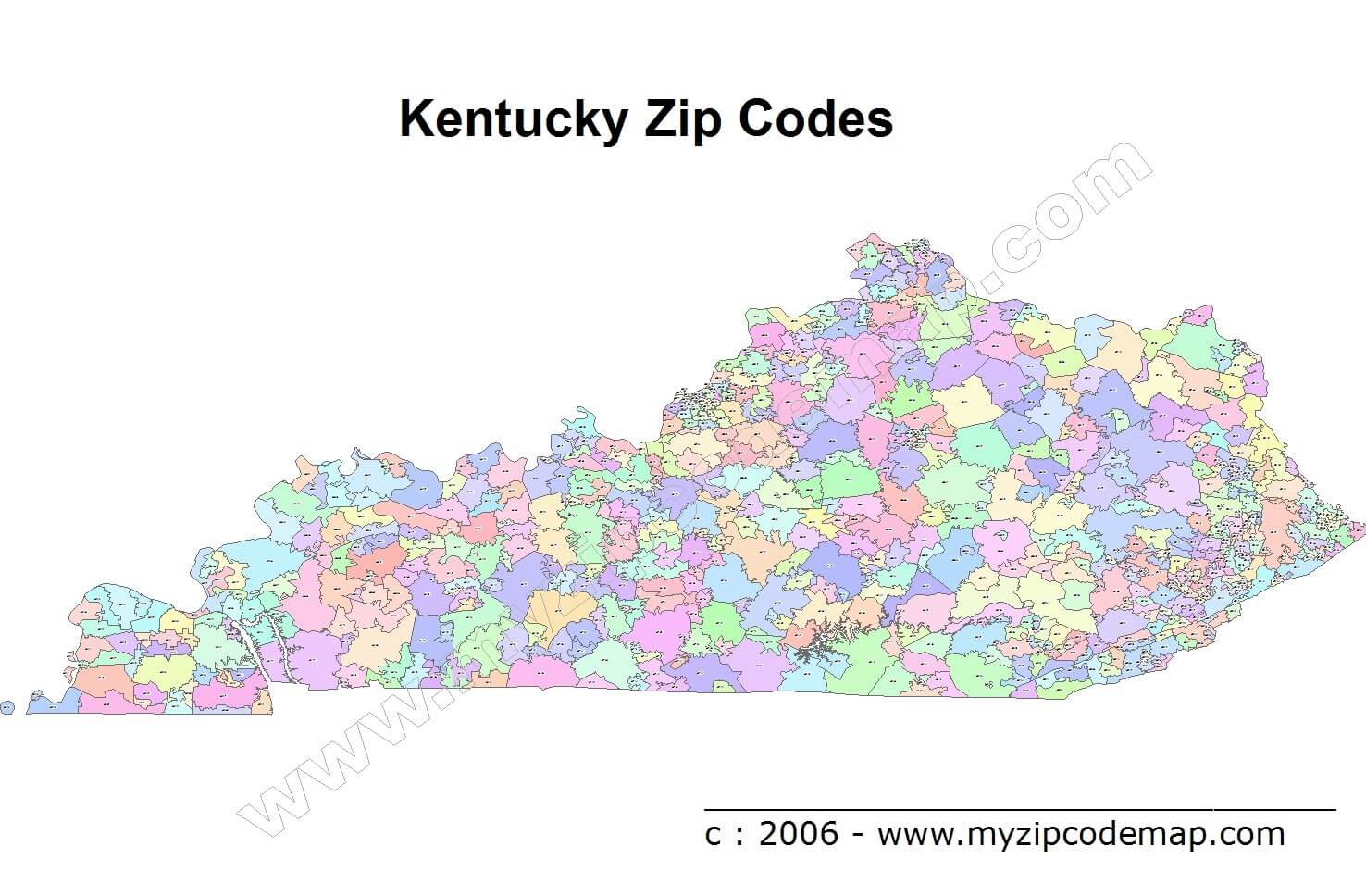
Click for Kentucky Zip Code Map Direction »
Click for Kentucky Zip Code Map Street View »

