Pennsylvania Images
Pennsylvania images, Pennsylvania US highways, Philadelphia, Pittsburgh skylines, Allegeny River, Ohio Rivers, Philadelphia city hall and more images.
Pennsylvania Map
Pennsylvania Maps
Pennsylvania Election Map
For all Pennsylvania Cities Map
Pittsburgh Skylines, Pennsylvania

A Collection of Pennsylvania Maps
Allegheny Monongahela Ohio Rivers Pittsburgh

Appalachian Throughway Pennsylvania US
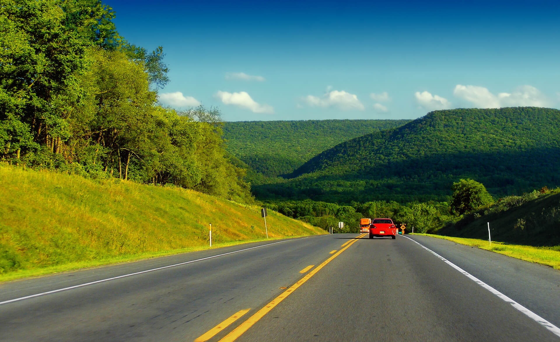
Benjamin Franklin Parkway Philadelphia

Downtown City Skyline Allegeny River
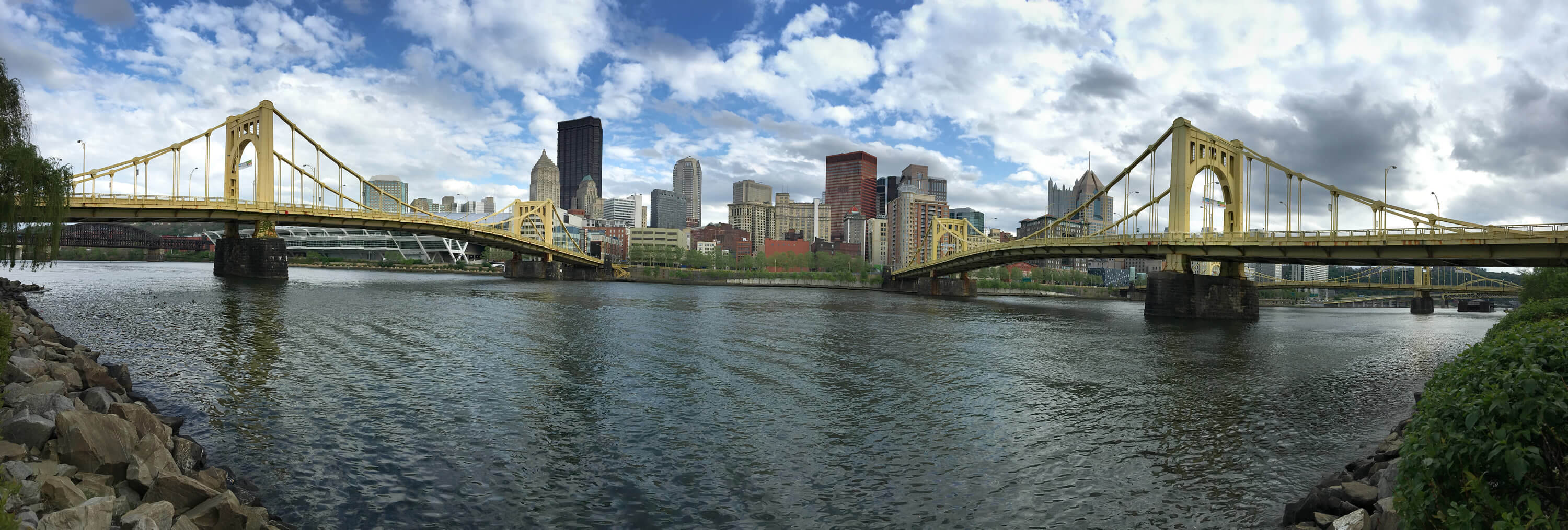
Downtown of Philadelphia Pennsylvania

Downtown Skyline of Philadelphia

Harrisburg Skyline Pennsylvania

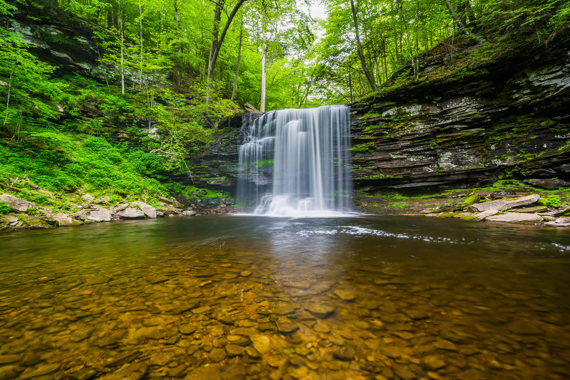
Harrison Wright Falls Pennsylvania
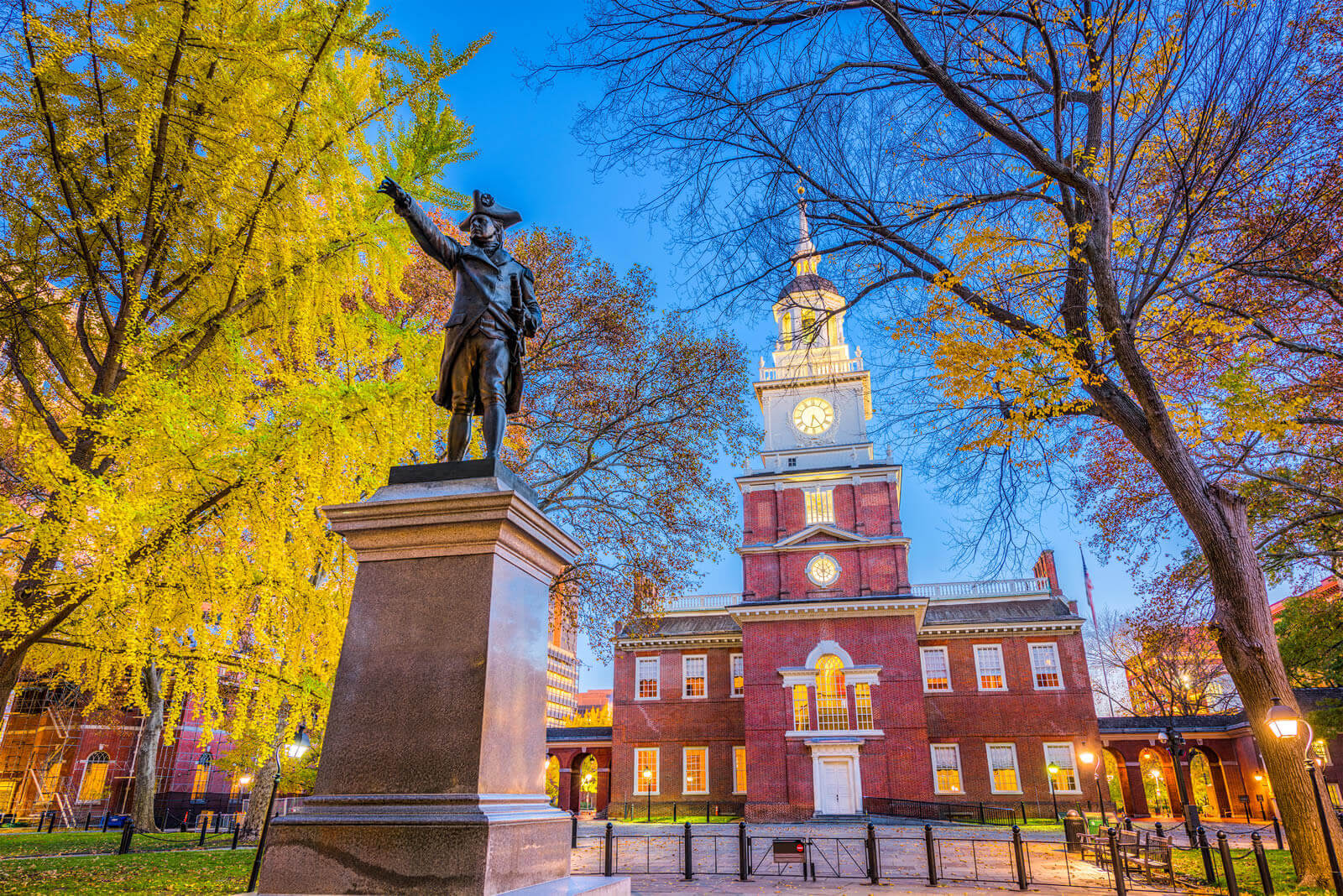
Independence Hall Philadelphia
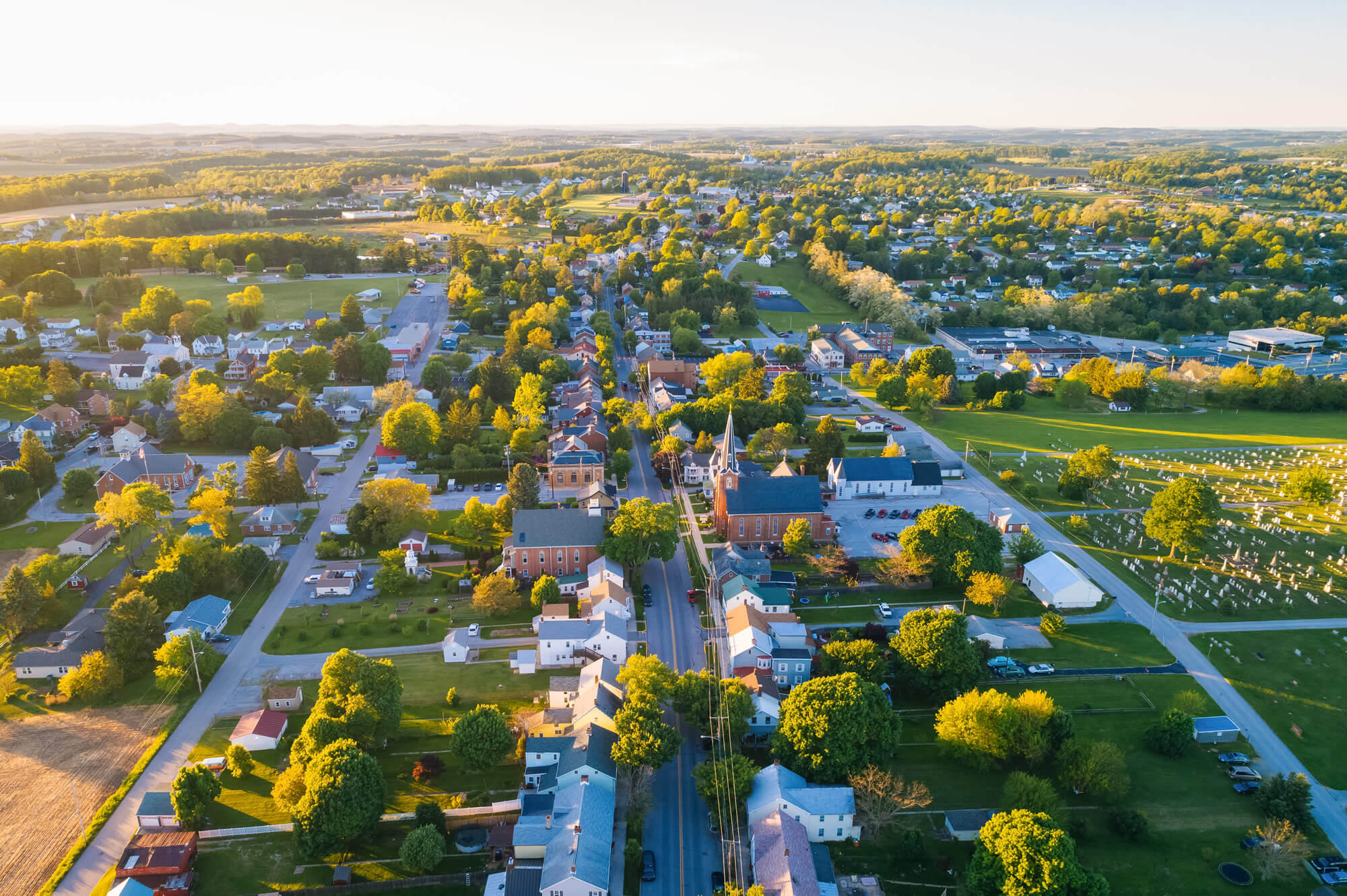
Main Street Shrewsbury Pennsylvania
Pennsylvania State Capitol Harrisburg

Philadelphia Pennsylvania US

Philadelphia City Hall Pennsylvania USA

Philadelphia Pennsylvania USA Skyline Schuylkill River

Pittsburgh Pennsylvania USA

Largest Cities Map of Pennsylvania and Population
Philadelphia Map Pittsburgh Map Allentown Map Erie Map Reading Map Scranton Map Bethlehem Map Lancaster Map Levittown Map Harrisburg Map Altoona Map York Map Penn Hills Township Map State College Map Wilkes Barre Map Norristown Map Chester Map Mount Lebanon Township Map Bethel Park Map Radnor Township Map Williamsport Map Monroeville Map Drexel Hill Map Plum Map Easton Map- Head of Performance Marketing
- Head of SEO
- Linkedin Profile: linkedin.com/in/arifcagrici
Largest Cities Map of Pennsylvania and Population
Philadelphia Map - 1,526,006 Pittsburgh Map - 305,704 Allentown Map - 118,032 Erie Map - 101,786 Reading Map - 88,082 Scranton Map - 76,089 Bethlehem Map - 74,982 Lancaster Map - 59,322 Levittown Map - 52,983 Harrisburg Map - 49,528 Altoona Map - 46,320 York Map - 43,718 Penn Hills Township Map - 42,329 State College Map - 42,034 Wilkes Barre Map - 41,498 Norristown Map - 34,324 Chester Map - 33,972 Mount Lebanon Township Map - 33,137 Bethel Park Map - 32,313 Radnor Township Map - 31,531 Williamsport Map - 29,381 Monroeville Map - 28,386 Drexel Hill Map - 28,043 Plum Map - 27,126 Easton Map - 26,800Copyright Turkey Travel Guide - 2005 - 2025. All rights reserved. Privacy Policy | Disclaimer

