Map of Connecticut
Navigate Connecticut map, satellite images of the ConnecticutUnited States, US states, largest cities, political map of Connecticut USA, capitals and physical maps.
A Collection of Connecticut Maps
Vintage 1891 Map of Connecticut
 Vintage 1891 map of Connecticut; out of copyright From old Atlas of the World.
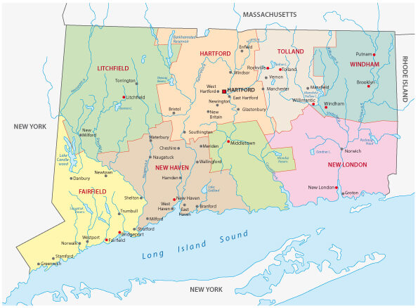
Map of Connecticut State
 Map of Connecticut state designed in illustration with the counties and the county seats.
Connecticut Map
 Connecticut map with major cities.
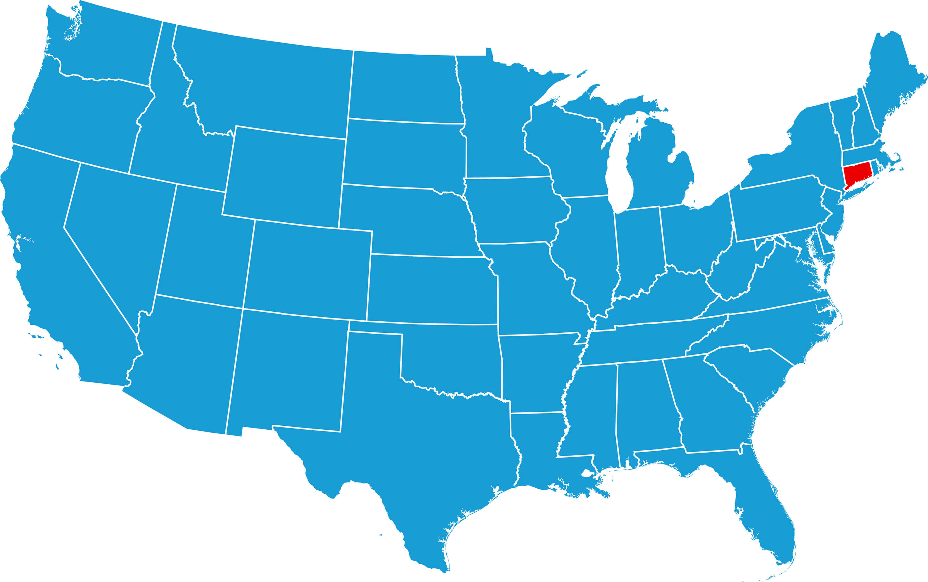
Connecticut Map, USA
 Connecticut map, USA - United Sates of America.
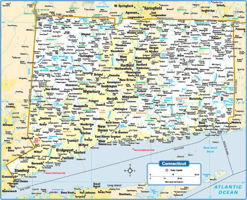
Connecticut Road Map
 Connecticut road map with major intersates.
Connecticut Administrative Map
 Connecticut administrative map with counties and main cities.
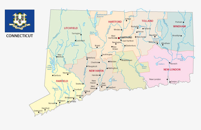
Connecticut Administrative Map with Flag
 Connecticut administrative map with flag and counties, major cities.
Connecticut State Map
 Connecticut State map with major cities and towns.
Largest Cities Map of Connecticut and Population
- Bridgeport Map - 144,229 - (41.167,-73.205)
- New Haven Map - 129,779 - (41.308,-72.928)
- Hartford Map - 124,775 - (41.764,-72.685)
- Stamford Map - 122,643 - (41.053,-73.539)
- Waterbury Map - 110,366 - (41.558,-73.051)
- Norwalk Map - 85,603 - (41.118,-73.408)
- Danbury Map - 80,893 - (41.395,-73.454)
- New Britain Map - 73,206 - (41.661,-72.78)
- West Hartford Map - 63,268 - (41.76145286559,-72.74202346802)
- Meriden Map - 60,868 - (41.53815350000,-72.80704350000)
- Bristol Map - 60,477 - (41.671765, -72.949270)
- West Haven Map - 55,564 - (41.270653, -72.947047)
- Stratford Map - 51,384 - (41.184542, -73.133165)
- Milford Map - 51,271 - (41.230894, -73.063584)
- East Hartford Map - 51,252 - (41.763422, -72.612834)
- Head of Performance Marketing
- Head of SEO
- Linkedin Profile: linkedin.com/in/arifcagrici
Largest Cities Map of Connecticut and Population
Bridgeport Map - 144,229 New Haven Map - 129,779 Hartford Map - 124,775 Stamford Map - 122,643 Waterbury Map - 110,366 Norwalk Map - 85,603 Danbury Map - 80,893 New Britain Map - 73,206 West Hartford Map - 63,268 Meriden Map - 60,868 Bristol Map - 60,477 West Haven Map - 55,564 Stratford Map - 51,384 Milford Map - 51,271 East Hartford Map - 51,252Copyright Turkey Travel Guide - 2005 - 2025. All rights reserved. Privacy Policy | Disclaimer
