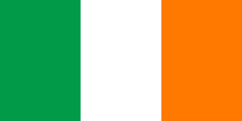
- Capital :
Dublin
- Population :
4,588,252
- GDP :
$217.669 billion
- Per Capita :
$47,513
- Calling Code :
+353
- Jobless Rate :
14.60%
- Time Zone :
+0
For more about Ireland »
With interactive Ireland Map, view regional highways maps, road situations, transportation, lodging guide, geographical map, physical maps and more information. On Ireland Map, you can view all states, regions, cities, towns, districts, avenues, streets and popular centers' satellite, sketch and terrain maps.
A Collection of Ireland Maps
Ireland Political Map

Ireland Political Map
Ireland Blank Map

Ireland Blank Map
Travel map of Ireland

Travel map of Ireland with landmarks and cities.
Ireland Satellite Map

Highly detailed Ireland and UK Map with fragments of the planet Earth with exaggerated relief, translucent ocean and clouds, illuminated by the morning sun.
Political Map of Ireland

Political Map of Ireland
Ireland Regions Map

Ireland Regions Map
Ireland Road Map

Ireland Road Map
Ireland Main Cities Map

Ireland Political Map with capital Dublin, national borders, most important cities, rivers and lakes in English labeling and scaling.
Ireland Regions Blank Map

Ireland Regions Blank Map
Republic of Ireland Vector Map

Republic of Ireland Vector Map
Ireland Map

Ireland Map
Ireland Administrative Map

Map of Ireland Administrative divisions on counties level.
Largest Cities Map of Ireland
Dublin Map -
1,110,627
Belfast Map -
579,726
Cork Map -
198,582
Limerick Map -
91,454
Derry Map -
90,663
Galway Map -
76,778
Craigavon Map -
57,651
Waterford Map -
51,519
Drogheda Map -
38,578
Dundalk Map -
37,816
Lucan Map -
37,622
Wexford Map -
20,072
Ireland Google Map, Street Views, Maps Directions, Satellite Images
Please Not : You can find local businesses, public places, tourist attractions via map view, satellite image, hybrid view, driving directions in Ireland Map. You'll also find a varity map of Ireland such as political, administrative, transportation, demographics maps following Google map.


